
During my younger years, my old man often took us to the summer capital of the Philippines. Baguio, 300KM north of Manila and 4000+ feet above sea level, often flocked by both Filipinos and foreigners during the summer season. Every time we went to Baguio, I would ask him to bring me to the airport. Both my dad and I watched PAL took-off and land and were amazed to the pilots who flew in and out of Laoakan airport. I told him back then that one day I’ll tell him how pilots do it and saw him laughing.
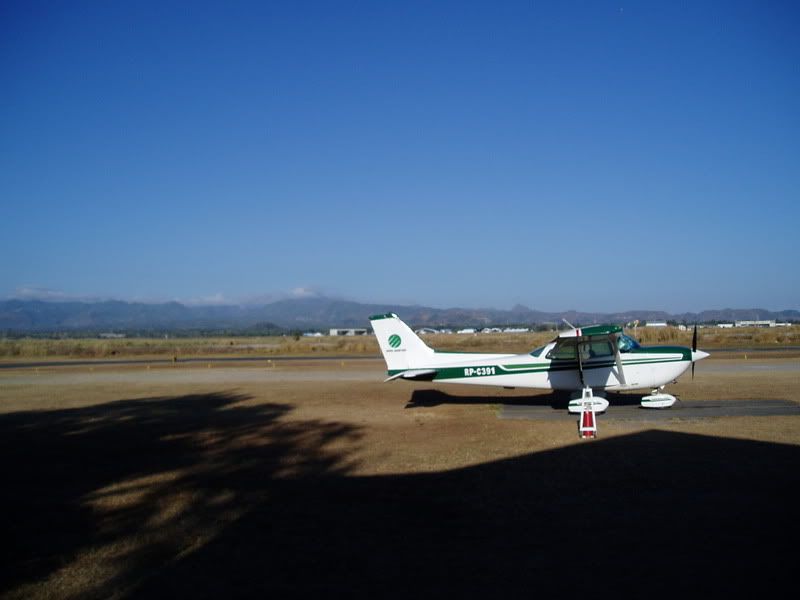
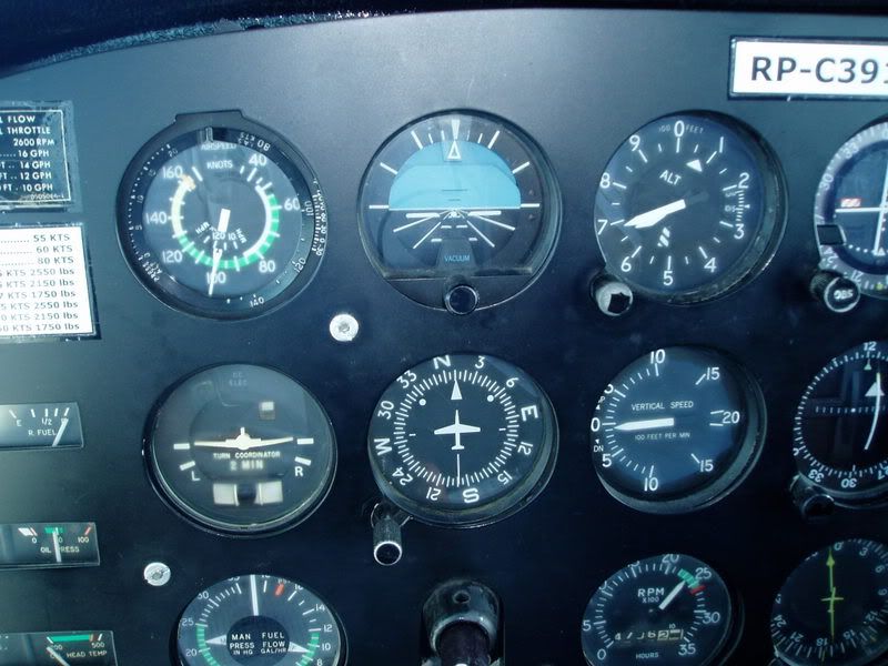
Fast forwarding almost two decades after, during one of the hot days of February, I decided that I should treat myself a trip to Baguio. The application my team and I have been building for months has been tested and accepted by the client. I plotted my flight plan using Google Earth (verified it against a WAC chart). God praise the software developers of this tool, after printing the Google Earth flight path all I did was get the heading.
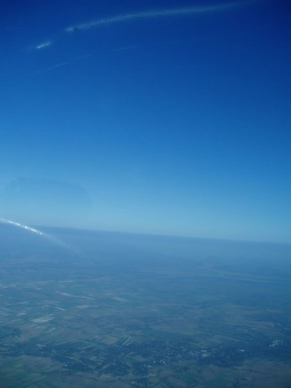
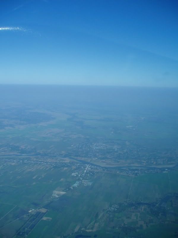
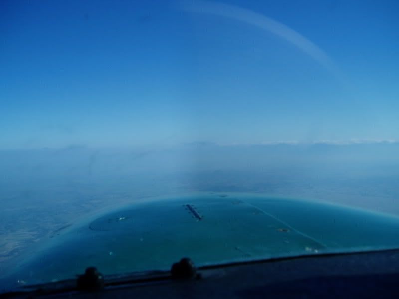
It was a clear and cloudless morning when we departed. We climbed to 6500’ and leveled-off 4NM south of Tarlac. Headed north, passing by the towns of Paniqui, Rosales and Asingan. The cloudless sky allowed us to enjoy the view of the Lingayen Gulf and the Sierra Madre Mountain range.
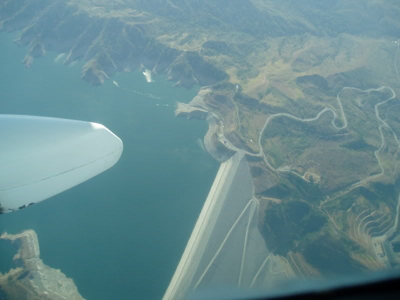
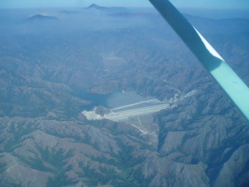
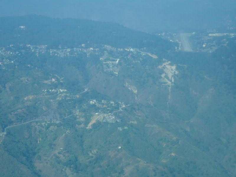
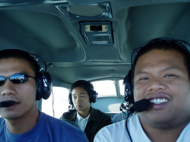
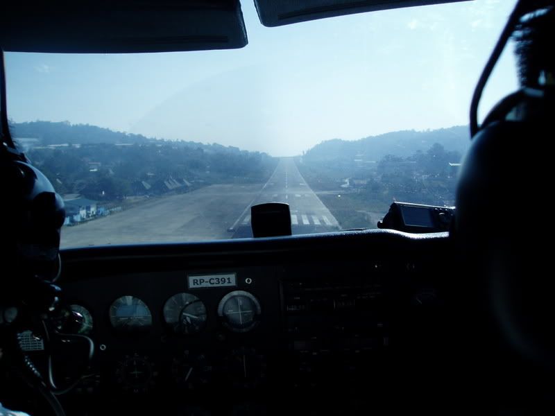
Approaching San Roque Dam, I handed the camera to Kevin at the back and concentrated on flying. Laoakan airport in Baguio is one of the most challenging airports the country has to offer. The steep terrain, often covered by fog or clouds, has claimed many lives of brave pilots. Steep cliffs located on both ends of the sloping runway, and a 6000+ foot mountain is located a few nautical miles away from runway 09’s threshold. Engine failure will give you slim to nil chance of survival.
Ten Nautical miles out, I checked in at Baguio tower. A female controller answered back and asked us to report 5 nautical miles and cleared the Aboitiz’ King Air for take-off and immediate climb to FL250. A few minutes after I advised the tower that we were 5 miles out, she later cleared us to join downind for 09 and cleared us for landing.
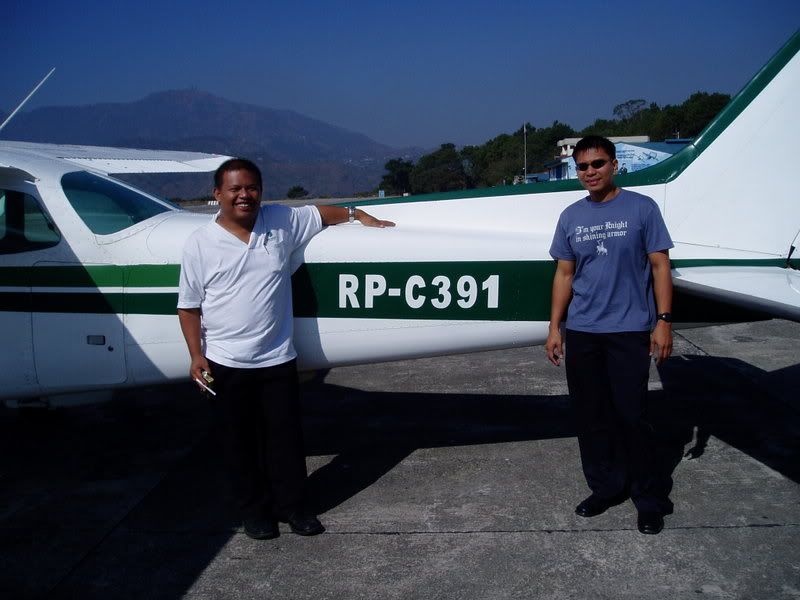
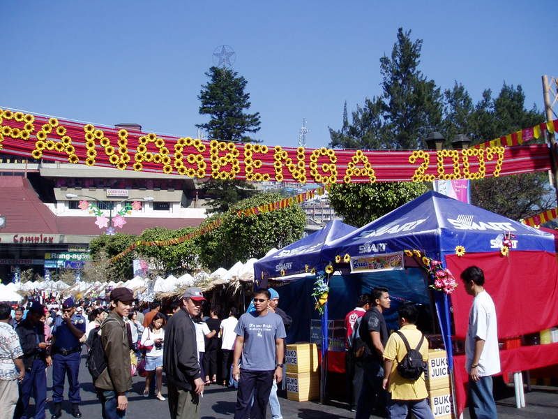
After we landed and secured the aircraft, we went straight to Burnham Park for breakfast. Food stalls can be located north of the said park. After satisfying ourselves with grilled bangus and pork, we decided to burn the accumulated fats on our bodies by walking along Session Rd and to the local market.
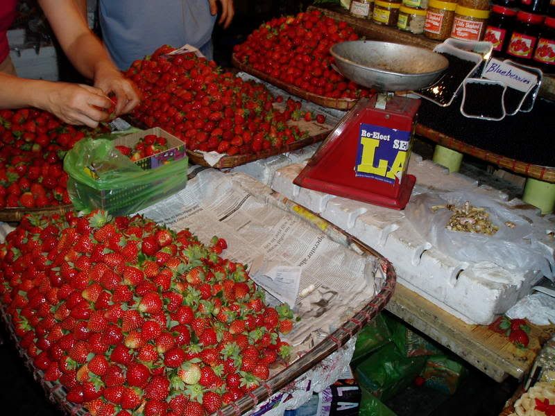
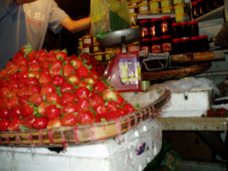
Aside from the blooming flowers during summer, it is also the season of harvest for strawberries. One can purchase a kilo of strawberries for less than a hundred pesos. After buying all those strawberries and peanut brittles, I had to recalculate our weight and balance. Despite Baguio’s 5000 feet of runway, I wanted to make sure that we were still in CG range.
The flight back was very nice despite the few bumps while descending. We soon satisfied ourselves with a chocolate ice cream and strawberries. Later that evening, me and my dad met. Asked him if he still remembers the day I’ll tell him how a pilot navigates and land in Baguio. Narrated to him the view from 6500’ and soon he asked me if I saw it in Discovery channel. I saw it better than any documentary film can offer because I landed a plane there that morning.